| Back to the previous photograph | |
|
| |
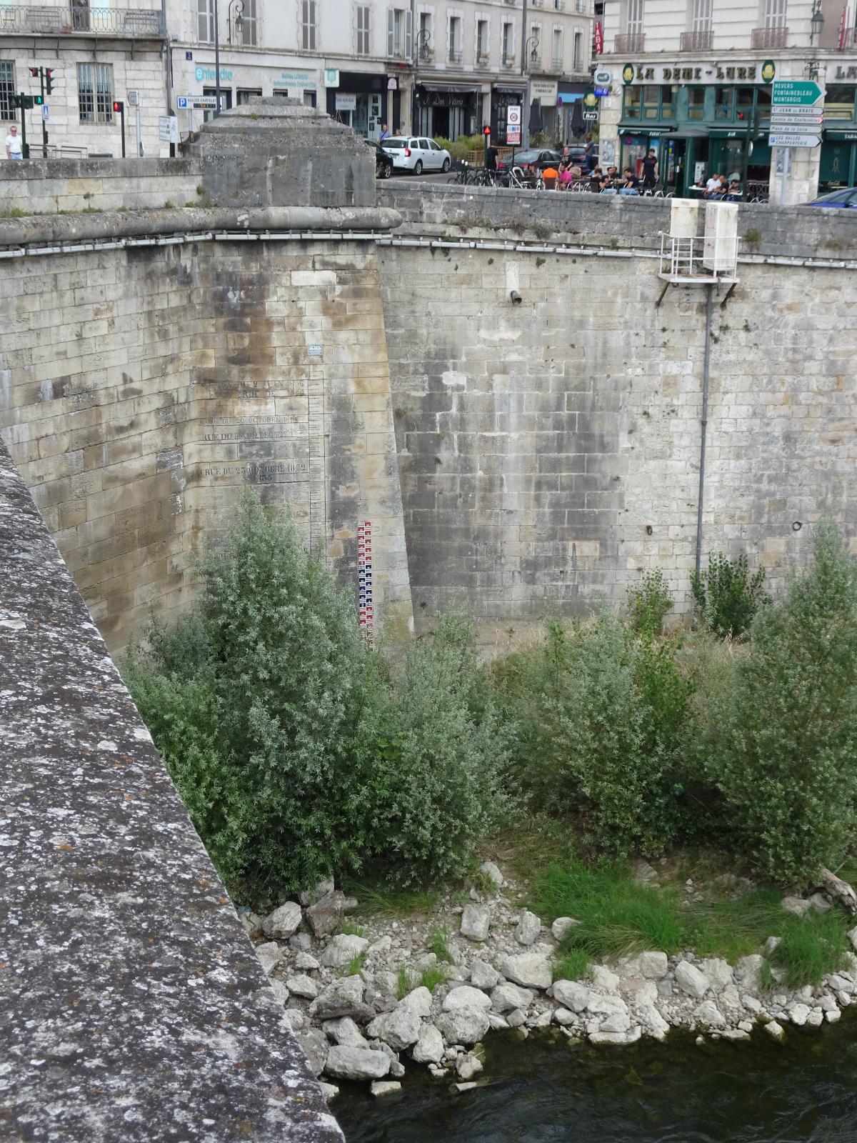 Above and to the left of the modern depth gauge is an older one painted on the stone. It marks the high water levels of some floods and appears to be marked in metres and feet. UTC Time: 13:06, Sunday 14 August 2022 Local Time: 15:06, Sunday 14 August 2022 Estimate of longitude: 1° 54' 15.73" E = 1.904370° Estimate of latitude: 47° 53' 51.61" N = 47.897670° Possible error on position estimate: 5 metres | |