| Back to the previous photograph | |
|
| |
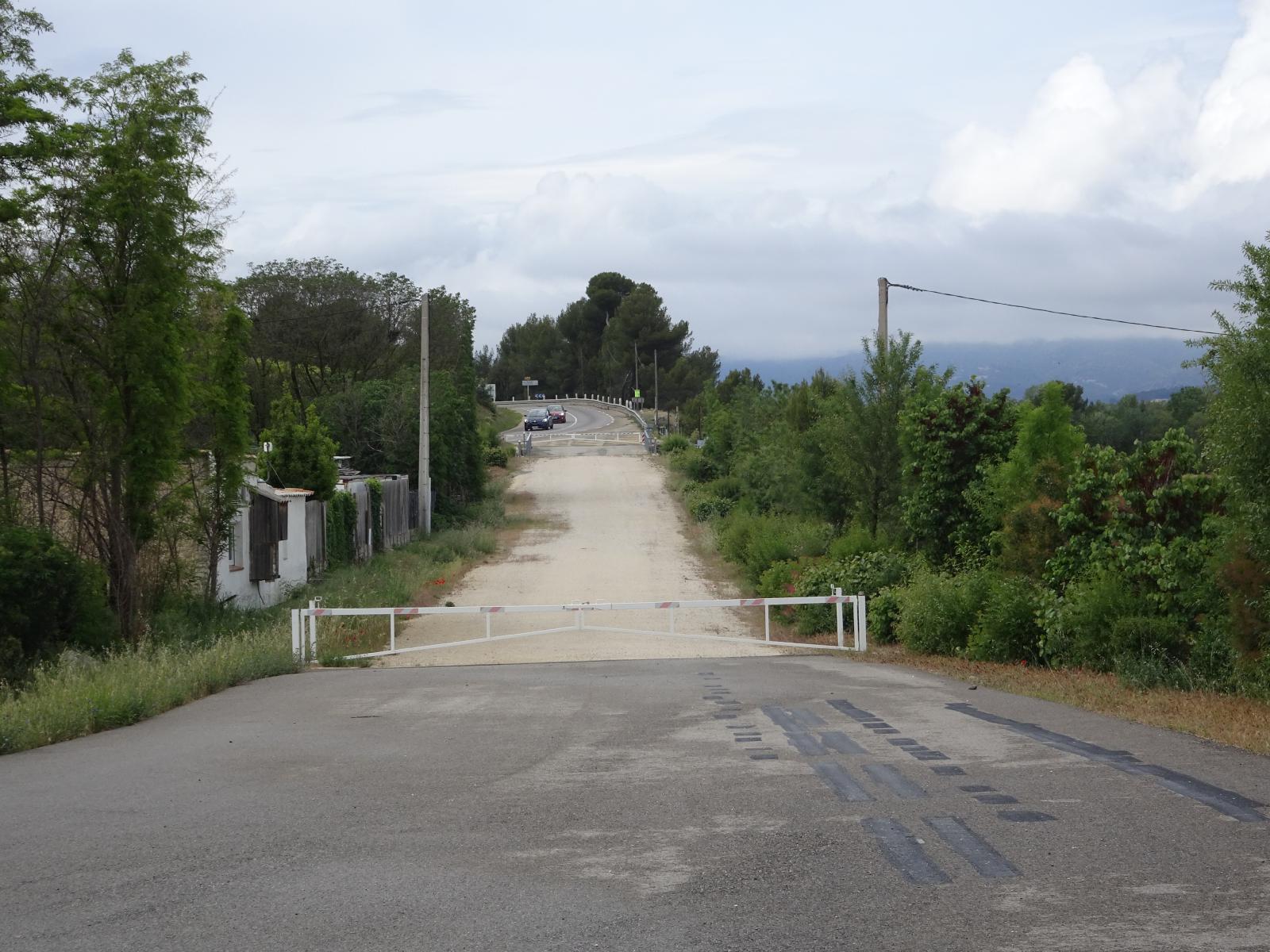 This is the ITER Itinerary, the route which is used to transport components of the ITER nuclear fusion facility from the coast to where the facility is being built. I don't know exactly how long the route is but it's over 100 km. The heaviest of the items which are transported weigh about 800 tonnes. A lot of the route is on public roads but there are deviations. For example, the cars in the distance are on the public road but here that goes through a hamlet and over a little bridge so the ITER route has to bypass it. Notice that the overhead power cables go underground to cross the ITER route. I wonder why, having built this, they didn't reroute the public road this way. UTC Time: 13:23, Thursday 18 May 2023 Local Time: 15:23, Thursday 18 May 2023 Estimate of longitude: 5° 21' 48.92" E = 5.363590° Estimate of latitude: 43° 42' 31.25" N = 43.708680° Possible error on position estimate: 5 metres | |