| Back to the previous photograph | |
|
| |
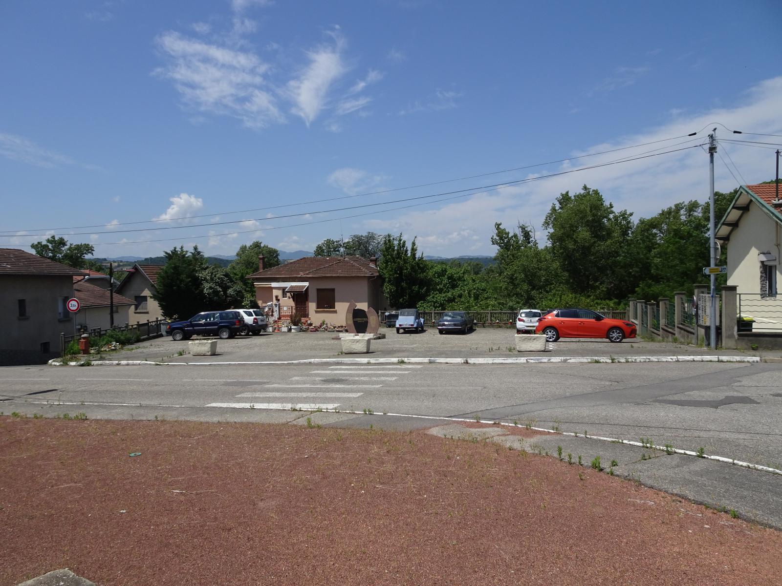 I think this is a public car park, although it seems to be mainly used by the residents of the surrounding houses. Four of the cars here are in the same spaces as they are in the Street View image. The memorial is to the victims of the bombardment of the 27th of July 1944, which is the day which the road is named after. UTC Time: 11:20, Thursday 08 June 2023 Local Time: 13:20, Thursday 08 June 2023 Estimate of longitude: 4° 47' 38.87" E = 4.794130° Estimate of latitude: 45° 35' 53.66" N = 45.598240° Possible error on position estimate: 5 metres | |